Jakarta (ANTARA) - The National Disaster Mitigation Agency (BNPB) has urged all regional governments at the provincial, district, and city levels to develop an understanding of the disaster risks in their respective regions, down to remote rural areas.
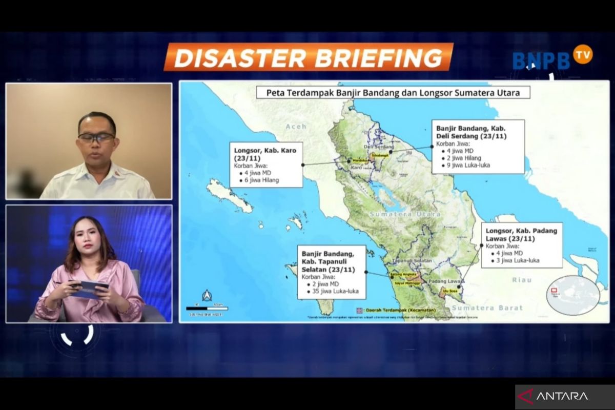
"Considering what is happening in the field, we think they (the risks) need to be understood by regional leaders," head of the BNPB Data, Information, and Communication Center, Abdul Muhari, said at a disaster briefing for the media here on Monday.
BNPB has prepared a map of flood and landslide disaster risks in each province, which can be accessed by the public through the InaRISK application.
Muhari said that if a regional government does not have a disaster risk map yet, at least the regional head or related technical offices can monitor the potential for flooding or landslides through the app so that their impact on the community can be minimized.
"This is absolutely necessary to be carried out in the next three months because it is the peak of the rainy season and the potential for disasters is greater," he stressed.
He further said that the daily rainfall forecast provided by the Meteorology, Climatology, and Geophysics Agency (BMKG) must also be responded to well by regional governments.
The responses can include readying officers in all areas that are vulnerable to disasters.
This is deemed necessary because, he explained, Indonesia does not yet have a specific early warning system for floods and landslides. Thus, weather forecasts are used as the main reference to predict disasters.
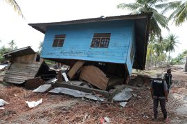
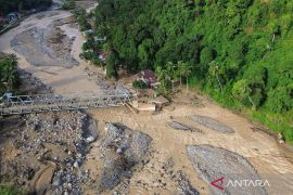
According to the BNPB, the condition needs to be responded to seriously because thousands of people have been affected by floods, landslides, and extreme weather. As of Monday, 55 flood, landslide, and extreme weather events have left 38 people injured, 20 people dead, and 7 people missing, as per data recorded by the BNPB.
"They include 16 people who died in floods and landslides that hit four districts in North Sumatra on November 22–23, 2024," Muhari said.


