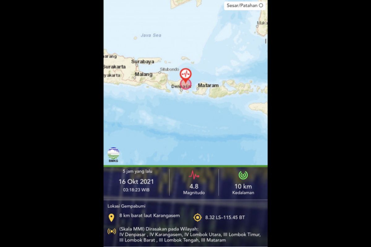
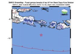
Jakarta (ANTARA) - A 4.8-magnitude earthquake that shook Karangasem District, Bali, at 3:18 local time was caused by fault activity, according to an official.
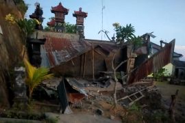
The epicenter of the earthquake was located at coordinates 8.32 degrees South Latitude and 115.45 degrees East Longitude, some eight kilometers (km) northwest of Karangasem District, at a depth of 10 km. The earthquake caused extensive damage to buildings in Rendang Sub-district, Karangasem District, Bali.
"Watching the mechanism of the source of the Bali M4.8 earthquake that was destructive this morning, it appears that the earthquake that occurred was caused by fault activity and not due to the Flores Back-Arc Thrusting Fault," Head of the Earthquake Mitigation Division of the Meteorology, Climatology, and Geophysics Agency Daryono stated as quoted from his official Twitter account @DaryonoBMKG on Saturday.
Daryono noted that despite the doubts, given the location of the epicenter in the Agung-Batur Volcano complex, it is possible that it was linked to magma migration that triggered the local fault activity.
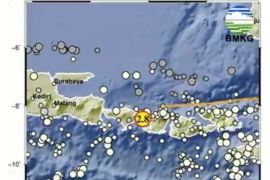
"The epicenter of the Karangasem earthquake this morning was located in the swarm earthquake zone of the Mount Agung and Mount Batur Complex in 2017," he noted in a written statement.
He informed that the swarm earthquake that occurred in September-October 2017 had the largest magnitude of 4.2. On November 8, 2017, the strongest earthquake of M4.9 struck that caused minor damage.
The Meteorology, Climatology, and Geophysics Agency recorded three aftershocks that followed the devastating earthquake at their time of monitoring at 5:30 local time.
The aftershocks had magnitudes of M3.8 (felt in Karangasem III MMI), M2.7, and M1.7 each, which occurred at 3:52 local time.
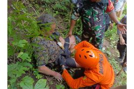
According to Daryono, the M4.8 earthquake that struck Rendang, Karangasem, Bali, had caused damage to the people's homes and also triggered chains of collateral hazards, such as landslides and rocks that collapsed in several places.
"In mountainous areas with steep hills, the after-effects of strong earthquakes in the form of landslides and new debris are common, so topographic effects of this kind should be watched out for during and after the earthquake," he cautioned. (*)


