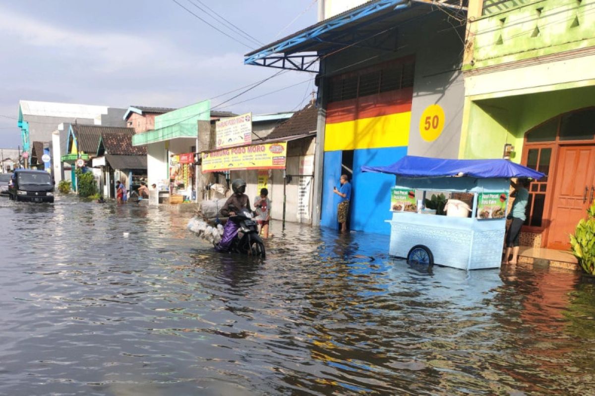
Surabaya, East Java (ANTARA) - The Tanjung Perak Maritime Meteorology, Climatology, and Geophysics Agency (BMKG) has forecast that coastal flooding in Surabaya city and the coastal areas of East Java will last till Friday (June 17, 2022).
"The peak of coastal flooding will occur on June 15, when its (seawater) height reaches 160 from the average sea level. This condition will cause 30–40 cm inundation in coastal areas," Tanjung Perak BMKG’s maritime forecaster, Fajar Setiawan, said in Surabaya on Monday.
According to Setiawan, the coastal flood will also affect the river flow into the sea.
Moreover, he said, the condition could be aggravated by the La Nina phenomenon. Although the dry season has come, the potential for rain is still high, he added.
"If all three of them happen together, the rain, the high tides, then the river automatically will be more difficult to flow into the sea," he said.
Recently, the seawater has also been warm, thus rain intensity at sea can reach the moderate to heavy category, Setiawan added.
La Nina is a global phenomenon that has not only struck the East Java region, he said. The phenomenon has been more intense in other Indonesian regions, especially the central and eastern parts, he added.
Data and information coordinator of BMKG at Sidoarjo, Teguh Tri Susanto, said that the BMKG has predicted that rain will potentially continue to fall throughout 2022. However, the wet-dry season due to this climate anomaly cannot be used as a benchmark, he added.
"This is an overview; (people) can continue to monitor weather developments on a meteorological scale (per one, three, or seven days) on BMKG official channels," he said.
Meanwhile, head of the Surabaya Regional Disaster Mitigation Agency (BPBD), Ridwan Mubarun, informed that BPBD personnel have been deployed to deal with floods in Surabaya. (*)
Surabaya coastal flooding to last till June 17, predicts BMKG
Senin, 13 Juni 2022 20:18 WIB

Panjaringan Street in Rungkut sub-district, Surabaya, was inundated due to heavy rain on Monday morning (June 13, 2022). (ANTARA/HO-Ulum warga Surabaya/KZU)


