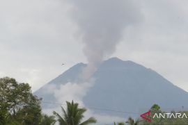
Jakarta (ANTARA) - The Volcanology and Geological Disaster Mitigation Center (PVMBG) has maintained the Level 4 or caution alert issued for Mount Semeru in East Java.
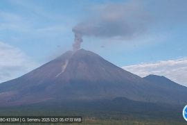
Although volcanic activity tends to decline, Mount Semeru still has the potential to spew hot clouds and especially high potential for ejecting lava, so the level of activity has been maintained at Level 4, acting head of the Geological Agency, Muhammad Wafid, said.
"In Level 4, the community does not carry out any activities in the southeastern sector along Besuk Kobokan, 17 kilometers from the peak of the volcano," he informed in a statement received in Jakarta on Wednesday.
As for outside this distance, the community has been asked to not carry out activities at a distance of 500 meters from the riverbank along Besuk Kobokan because it has the potential to be hit by the expansion of hot clouds and lava flows spreading up to 19 kilometers.
The community has also been told not to carry out activities within a radius of 8 kilometers from the peak of Mount Semeru because of the danger of falling stones.
Wahid asked the public to remain calm and continue to monitor developments in Mount Semeru's volcanic activity from reliable sources.
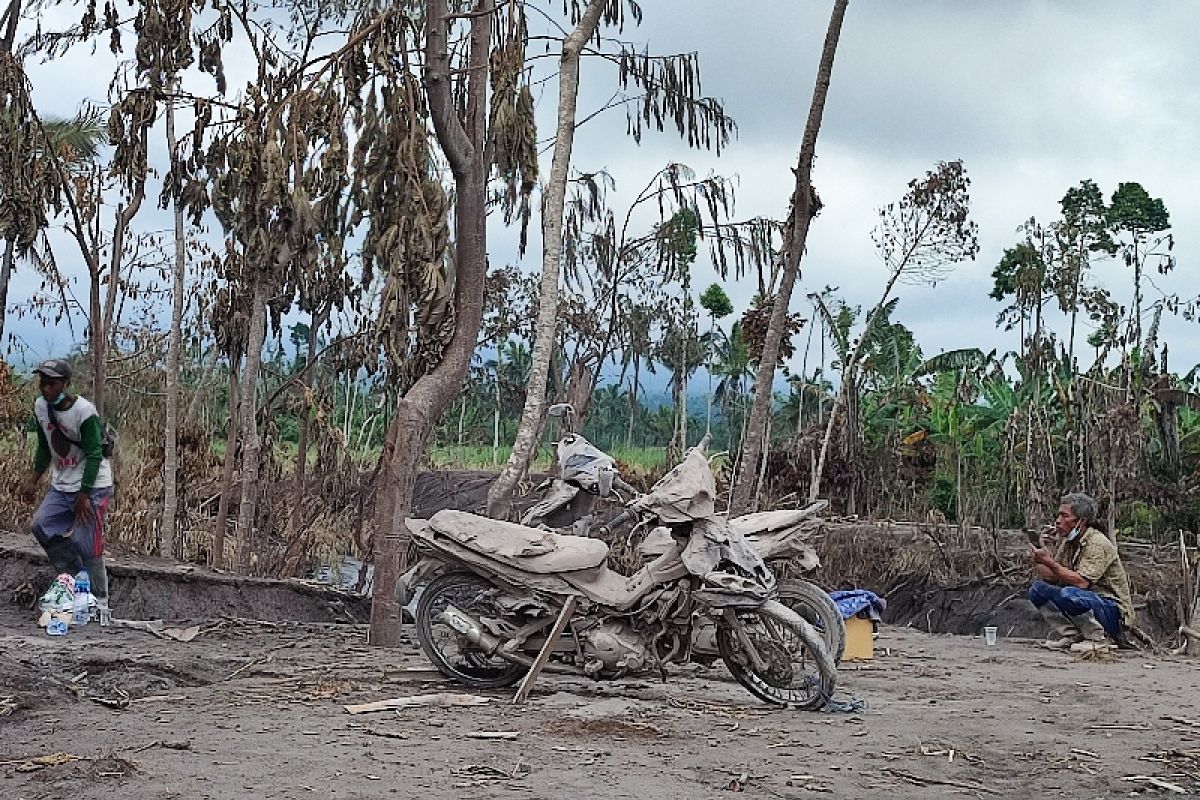
Currently, PVMBG is conducting visual monitoring, seismicity, deformation of Mount Semeru round the clock, including checking the temperature of hot cloud deposits, and continuing to work together with related parties to review active evacuation of community property in locations affected by hot clouds from Mount Semeru avalanches.
Based on data from the National Disaster Mitigation Agency (BNPB), the number of people evacuated due to the spewing of hot clouds on Mount Semeru has so far increased to 781. One of the evacuation points is in Penanggal Village Hall, Candipuro sub-district, Lumajang district, East Java.
The Volcanology and Geological Disaster Mitigation Agency (PVMBG) earlier reminded the public to comply with the disaster-prone area map (KRB) in order to mitigate various threats arising from geological activities.
PVMBG earthquake researcher Agus Budianto said that the disaster-prone area map will be used when volcanic activity increases, from Level I to Level IV, so people can be aware while conducting activities in disaster-prone areas.
"When we are in a disaster-prone area, the KRB map will explain various disaster threats, for example, earthquakes, tsunamis, volcanoes, and ground motions," Budianto informed in Jakarta on Monday.
The KRB map is a guide for the community to take action according to the natural disaster's threats, he added.
On January 14, 2022, the PVMBG released a KRB map of the Mount Semeru disaster-prone area that was updated on a scale of 1 to 25 thousand.
A map of volcanic disaster-prone areas shows the level of disaster vulnerability of an area in the event of an eruption or volcanic activity.
The map describes the types and nature of volcanic hazards, disaster-prone areas, escape routes, evacuation locations, and disaster mitigation posts.
On the map, PVMBG presents images with colors and symbols with explanations included on the sidelines.
"The map and the recommendations that we published can help people to easily adapt during a disaster," Budianto remarked.


